Hard — Summit
Gråberget — Høyanger's Summit Climb
The grey cliff face that watches over Høyanger — climbed from the town itself, with an aerial view straight back down.
The grey cliff face that watches over Høyanger — climbed from the town itself, with an aerial view straight back down.
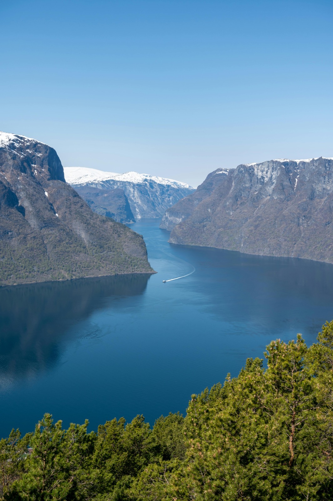
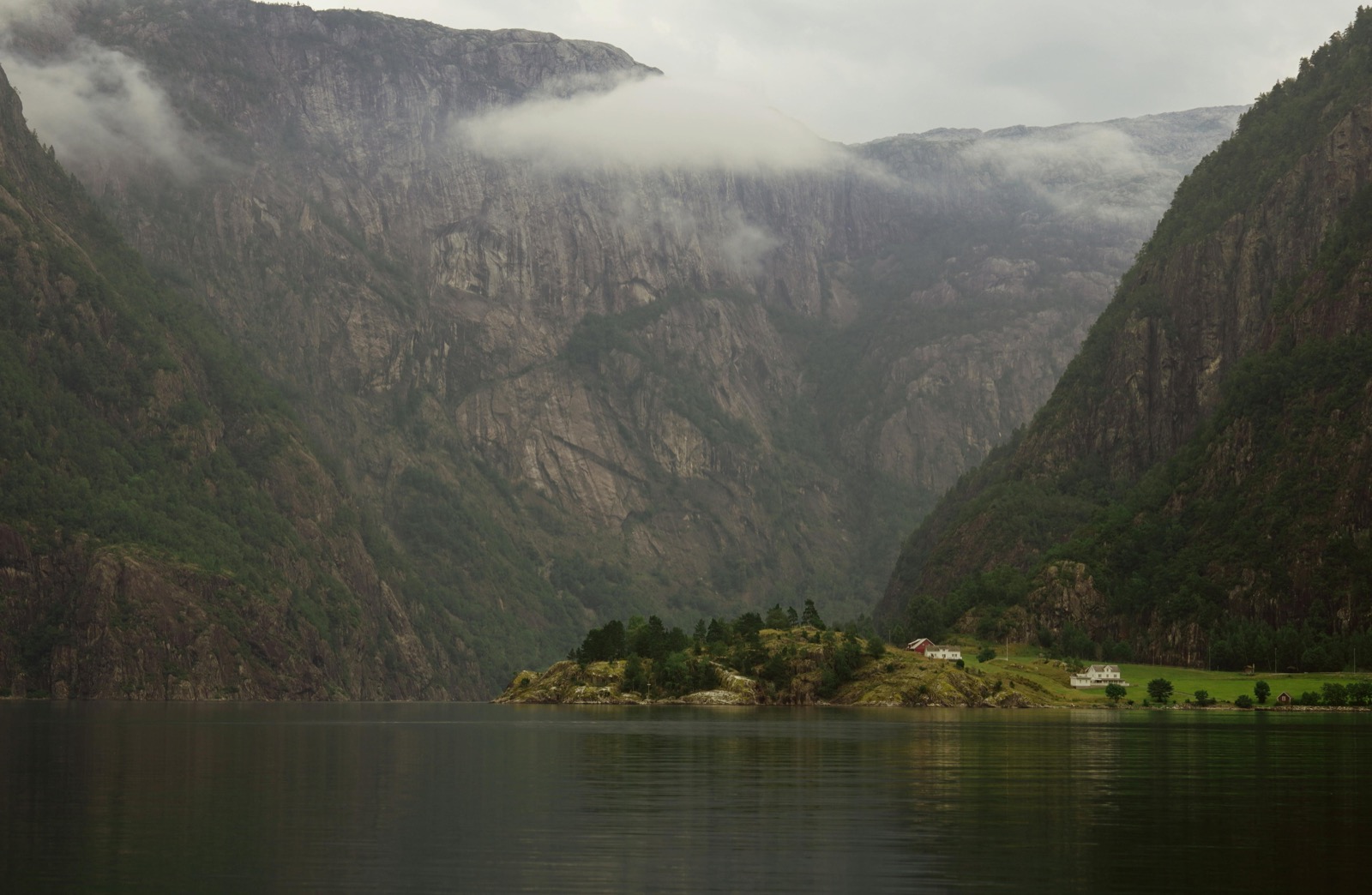
When you arrive in Høyanger, Gråberget is the first thing you notice. The mountain's grey cliff face rises almost vertically from the edge of the town, 849 metres of exposed rock dominating the skyline above the fjord. It is the mountain that defines the place. This tour takes you to the top of it.
The route climbs direct from near the town centre, gaining around 800 metres through mixed terrain before reaching the steeper ground below the summit ridge. Fixed ropes assist on the most exposed sections — not technical climbing, but demanding enough to require confidence on steep ground and good footwear with real grip.
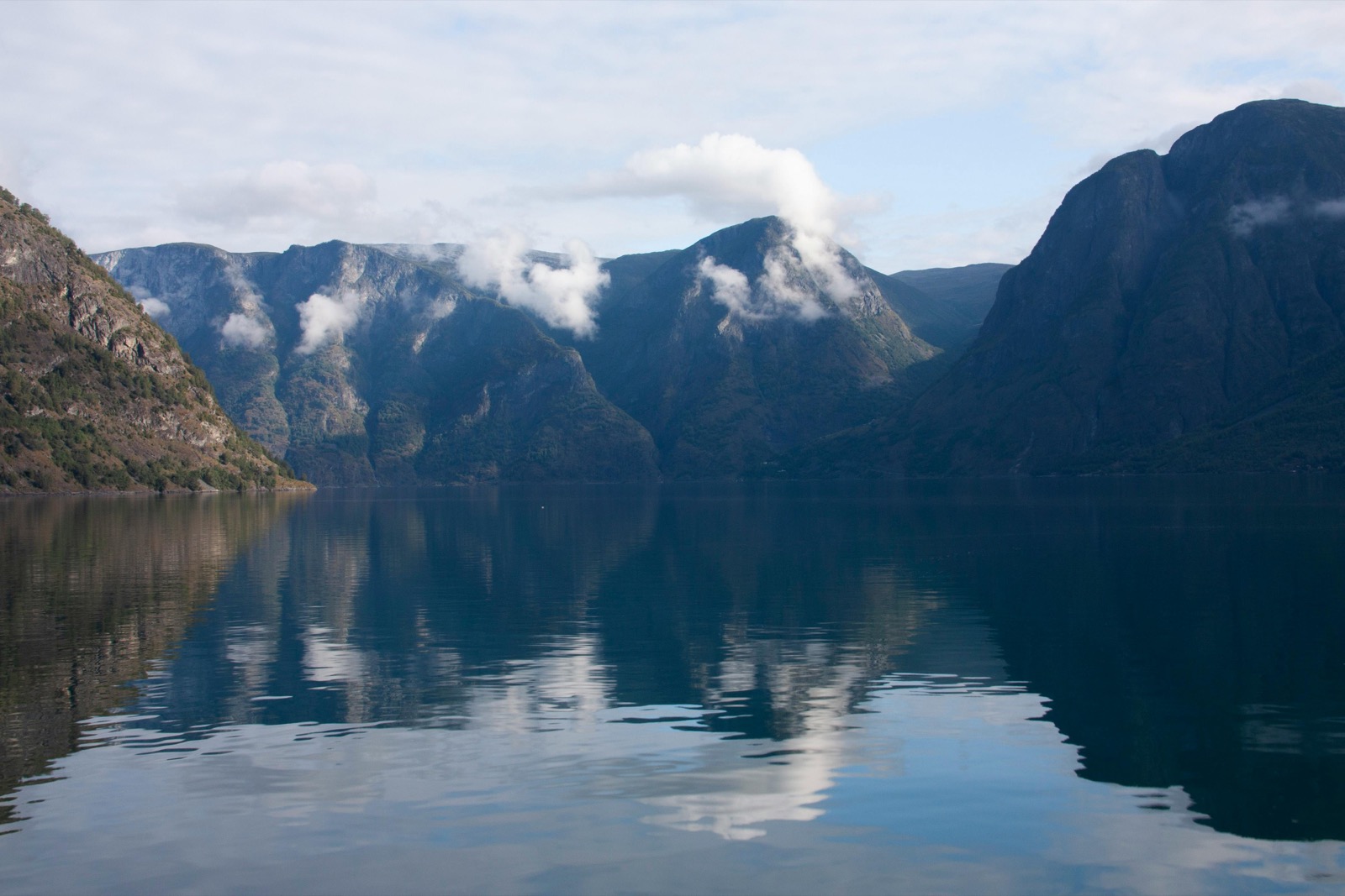
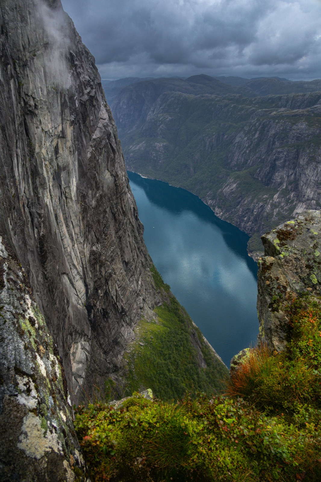
The summit view is unlike anything else on the route network. From Bergefjellet or Kraftruta you look across the Sognefjord. From Gråberget you look straight down: Høyanger town spread directly below you, the Høyangsfjorden extending out from it, and the full ring of surrounding mountains holding the fjord in on both sides. It is one of the most striking viewpoints in the region precisely because the drop is so immediate.
Gråberget also sits at a geological crossroads. The Norwegian Water Resources and Energy Directorate (NVE) monitors movements in the mountain face here — measuring a crack in the rock above the town on a regular basis. Standing at the summit, it is easy to understand why the cliff commands attention.
For those wanting to continue, the summit connects to a longer traverse route toward Nova, Måren and ultimately Balestrand — one of the finest multi-day walking lines on the western Sognefjord. Your guide can advise on extending the route if your group has the time and fitness.
Gråberget is a hard hike — one of the steepest routes we offer. The ascent gains around 800 metres from near town level, with fixed rope sections on the steepest ground near the summit ridge. Good fitness and a head for heights are required. It is not suitable for beginners or anyone uncomfortable with steep, exposed terrain.
The summit gives one of the most unusual viewpoints in the Sognefjord region — you look almost vertically down onto Høyanger town centre directly below, with the Høyangsfjorden stretching out beyond it. The wider view takes in the surrounding fjord arms and mountains on all sides.
The route starts from near Høyanger town centre, climbing steeply through the terrain directly below the cliff face. Your guide will confirm the exact meeting point when you book.
Allow 4 to 5 hours for the return trip. The ascent takes around 2 to 2.5 hours depending on pace; descent on the steep sections requires care and takes similar time.
Sturdy hiking boots with good grip and ankle support are essential — the route involves steep, rocky terrain and rope-assisted sections. Bring a windproof and waterproof layer, sufficient water, and food for the day. Your guide carries a first aid kit and emergency equipment.
Private guided tour — all group sizes